What is Western Sahara and why does it appear with a dashed border on maps?
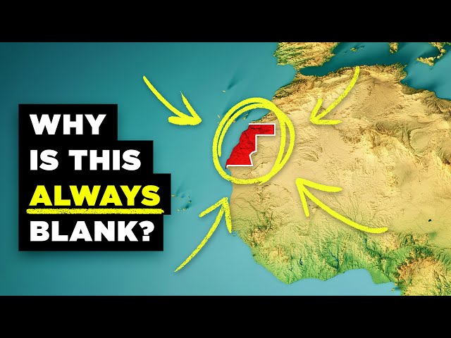
Western Sahara is not a recognized country but rather a geographic expression with disputed territorial status. When viewing it on Google Maps, you'll notice a conspicuous dashed line marking its border with Morocco, indicating its contested nature. This area represents the single largest active territorial dispute in Africa and among the largest worldwide. Despite being labeled on maps, Western Sahara does not appear on the list of United Nations member countries. The territory remains caught in a significant geopolitical conflict, which explains why it often appears with special border designations on international maps, highlighting its unresolved status in the global political landscape.
People also ask
TRANSCRIPT
Load full transcript
0

From
Understanding the Disputed Territory of Western Sahara
RealLifeLore·8 months ago
Answered in this video

What is the current status of the territorial dispute in Western Sahara?

What are the strategic resources and implications of the Western Sahara conflict?
What historical events led to the dispute over Western Sahara?

What was the goal of the Polisario Front when it was founded in 1973?
What was the ruling of the International Court of Justice regarding the self-determination of the Sahrawi people in Western Sahara?


