Who created the maps of Atlantis and what was his method for developing this theory?
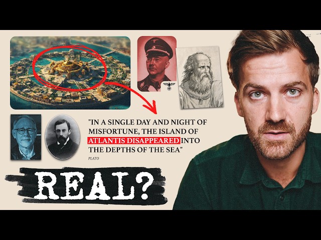
William Scott Elliot created detailed maps of Atlantis at the turn of the 20th century, depicting what he claimed was an ancient civilization that existed a million years ago. Rather than using conventional scientific research, Elliot developed his theory through spiritual clairvoyance, which he combined with scientific concepts of his time, such as the natural rising and falling of oceans and tectonic movement. His maps show Atlantis as a circular city with sophisticated canals, palaces, and a central population area called 'the city of the Golden Gates.' Elliot expanded on Plato's original descriptions but took them to an entirely new level through his spiritual beliefs rather than empirical evidence.
People also ask
TRANSCRIPT
Load full transcript
0

From
Detailed Examination of the Maps of Atlantis
Johnny Harris·8 months ago
Answered in this video

What does the map from the end of the 1800s claim about Atlantis?
What does Plato say about Atlantis in his texts?

Why did the idea of Atlantis gain popularity during the 1800s?
How did the scientific perspective of the mid-1800s influence beliefs about Atlantis?

Why did William Scott Elliot create a pseudo-scientific story about Atlantis?


